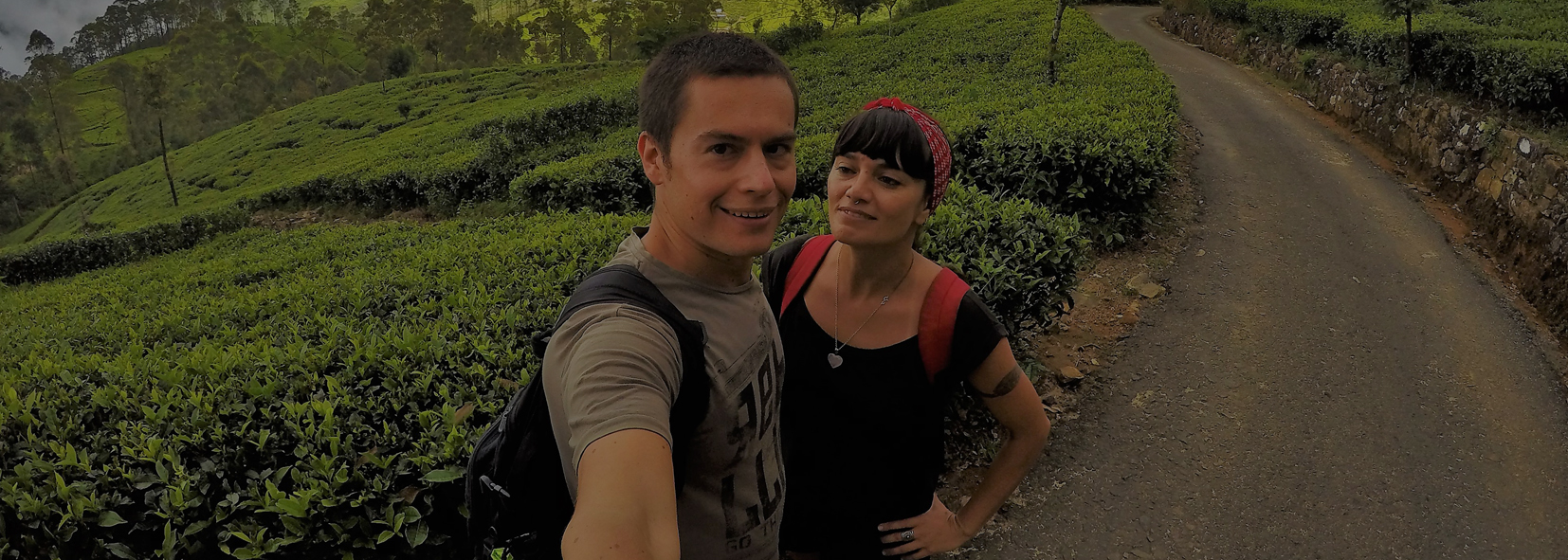
Trecking & Hiking
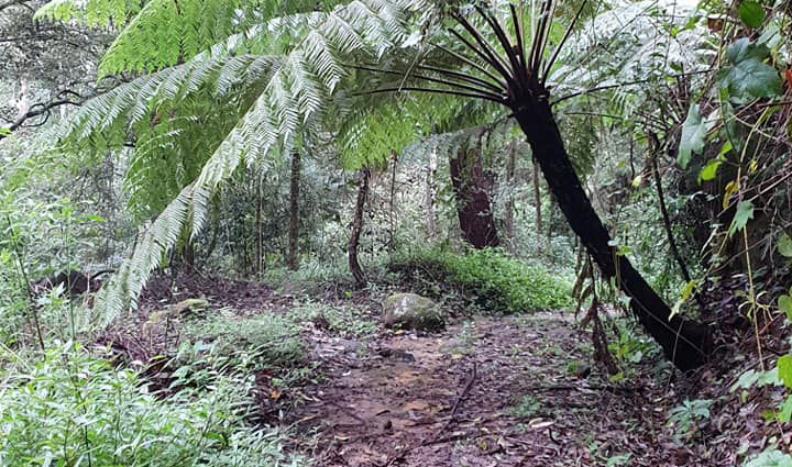

Black Forest Haputale Nature Trail
Text Source : http://lk.geoview.info/haputale_forest_reserve,1244712
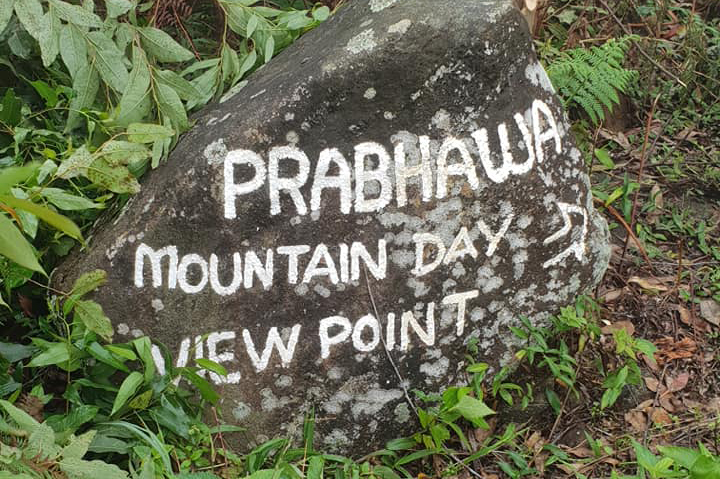
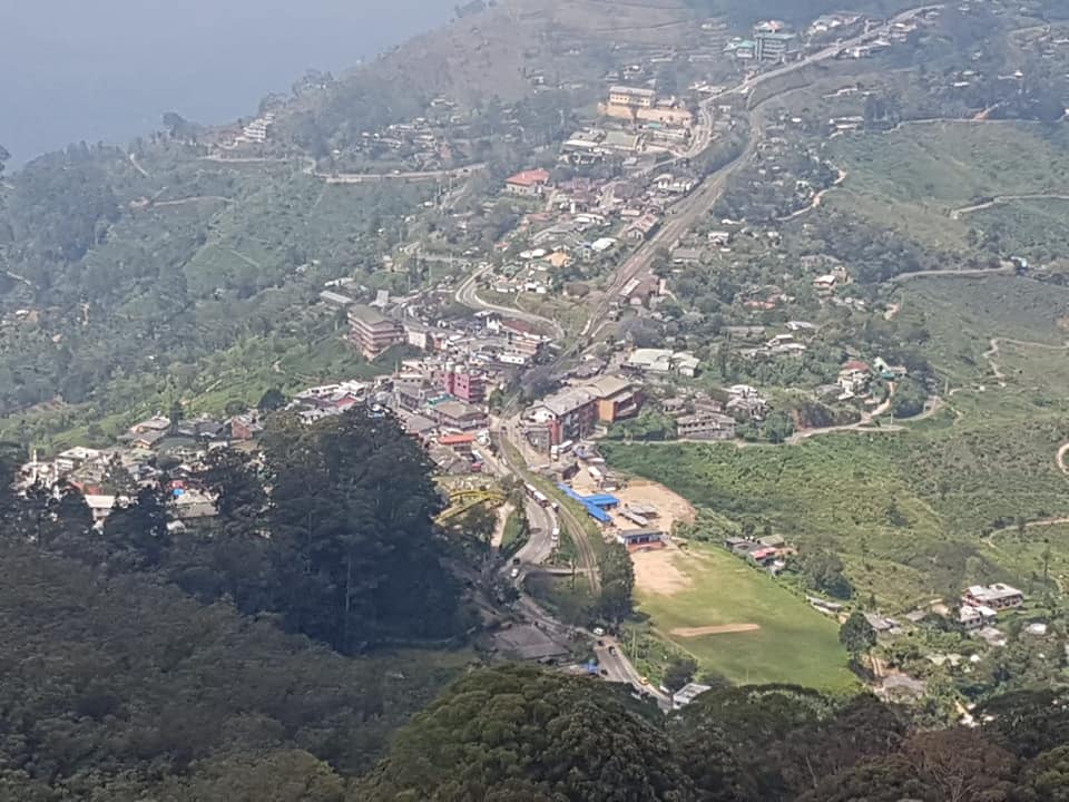
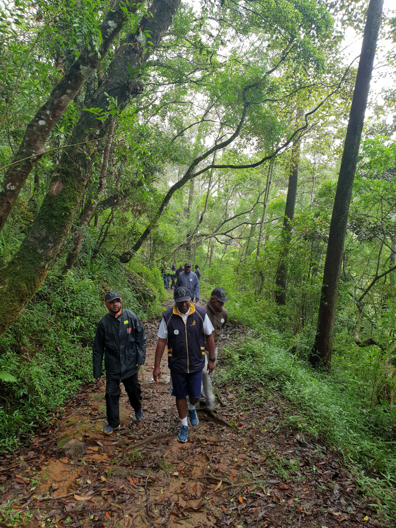
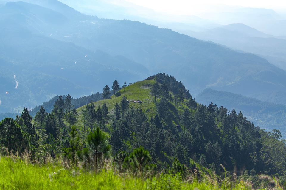
Haputale Rock
Text Source : https://www.triphobo.com/places/welimada-sri-lanka/prabhawa-mountain-day-view-point-haputale

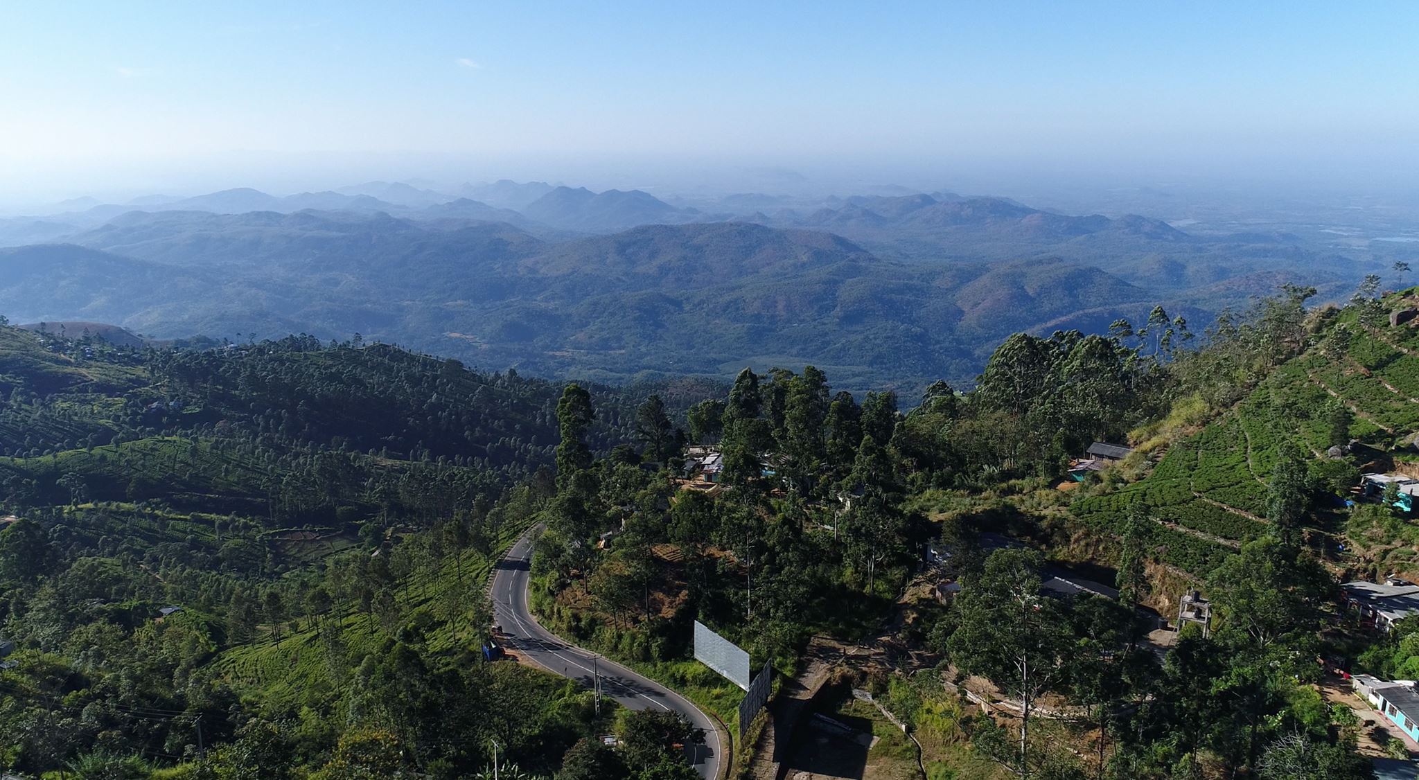
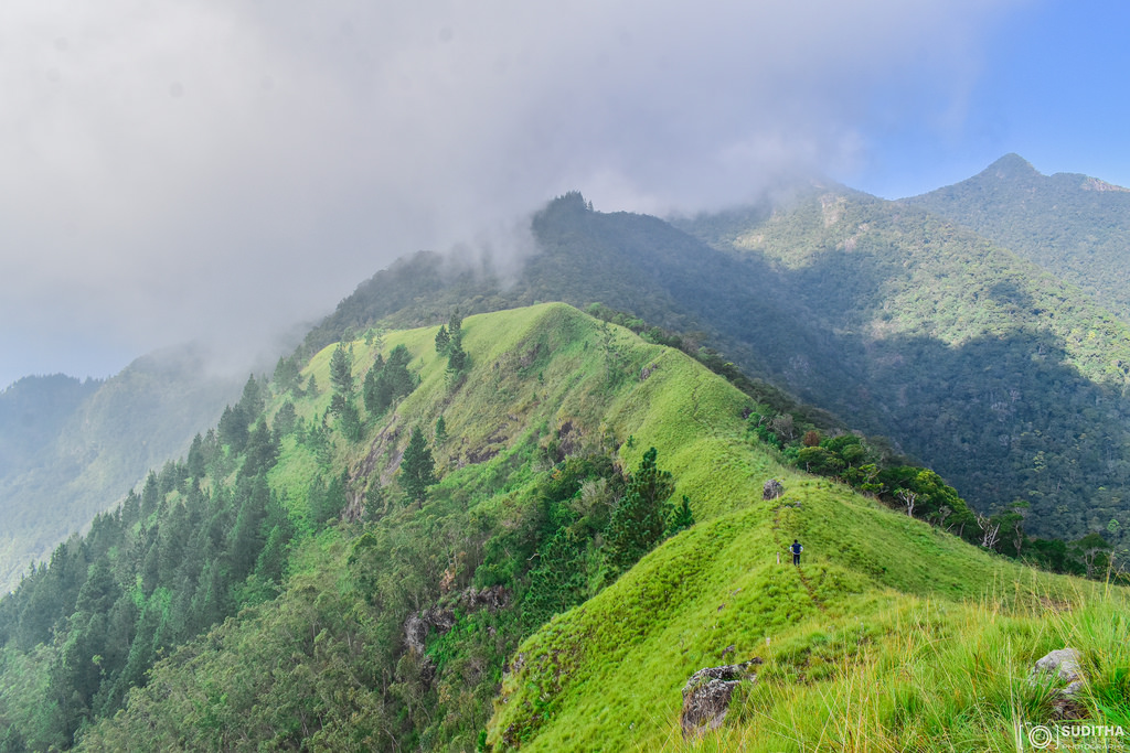
Eagle Rock, Thotulagala
Elevation 1430m 3km from haputale
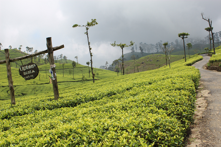
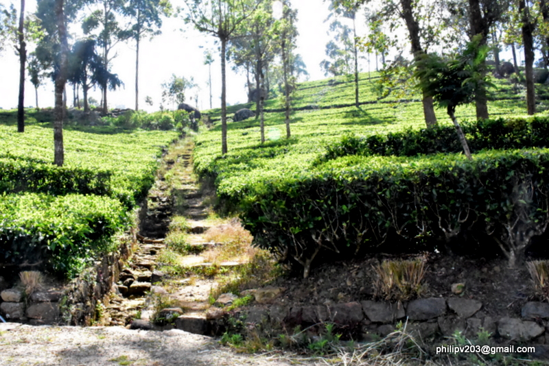
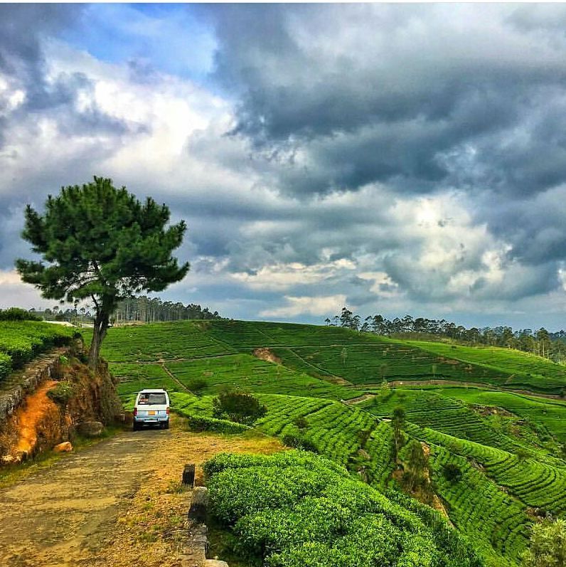
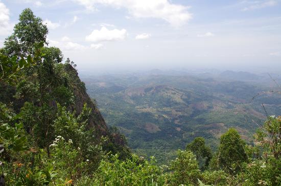
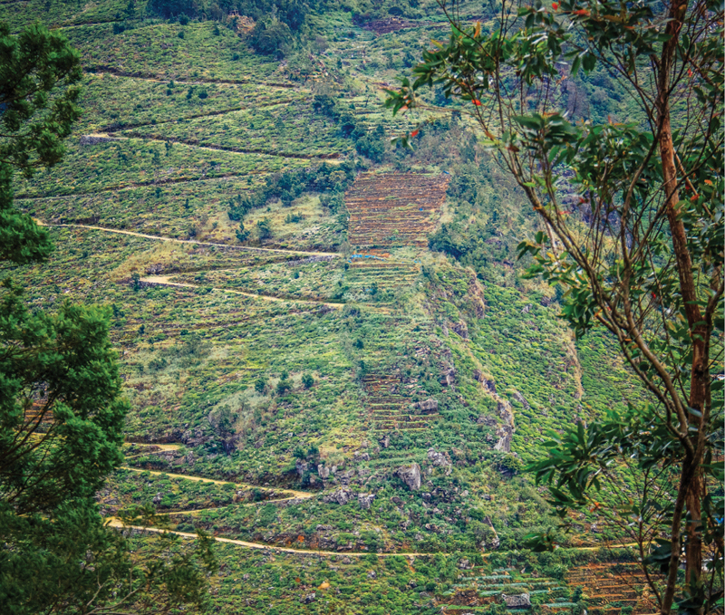
Dambethanne to Lipton Seat Walk
To hike to the lookout, take the signed narrow paved road from the Dambatenne Tea Factory and climb about 8km through lush tea plantations. It's also possible to drive up – tuk-tuks charge around Rs 2500 return from Haputale. Look forward to the company of Tamil tea pickers going off to work as you walk uphill. Enterprising locals sell drinks and snacks at the top.
Text Source :
https://www.lonelyplanet.com/sri-lanka/haputale/attractions/lipton-s-seat/a/poi-sig/1195301/357475
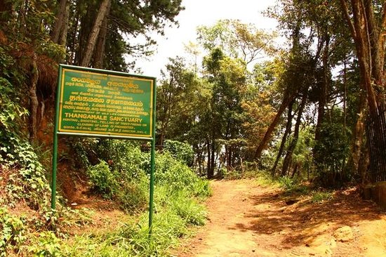
Thangamale Bird Sanctuary Treck
Nestled high in the lush green hill country of Sri Lanka, the Thangamale Bird Sanctuary may be one of the lesser known nature reserves in the country, however, it certainly does not lack in giving the wildlife junkie and adventure thrill seeker a unique experience. Boasting of some of the more endemic and rare birds of Sri Lanka, along with other wildlife, the bird sanctuary serves to be an idyllic setting for the hardcore birder and wildlife enthusiast. Coupled with some of the more serene views of the central highlands draped in a cascade of lush greenery, the sanctuary also serves to be ideal for the one looking for that perfect scenery, making it all the more enticing for the wide eyed traveller.
Text Source : https://www.knowsl.com/todo/thangamale-bird-sanctuary#
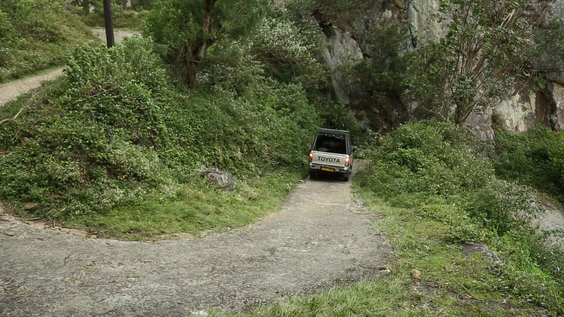
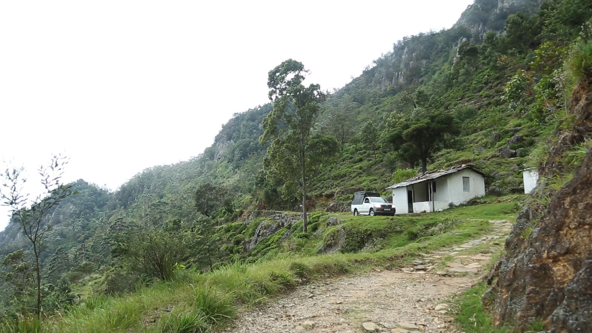
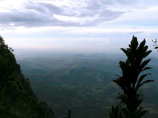
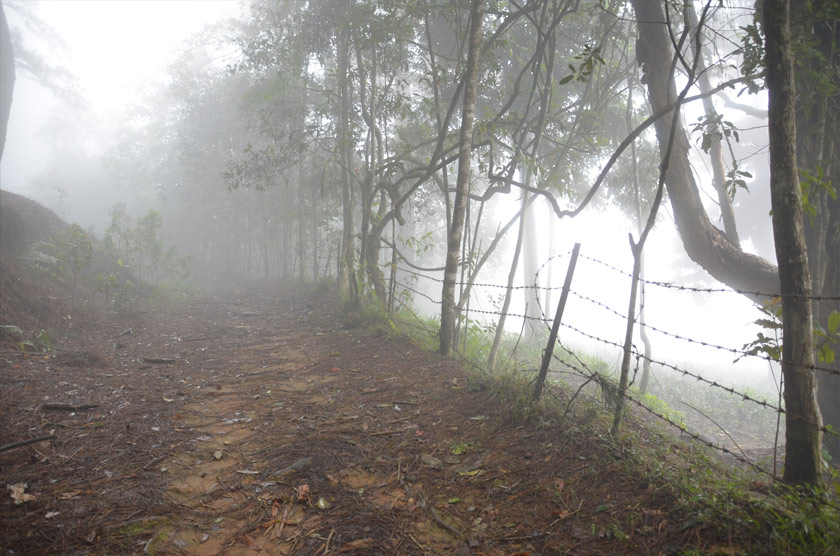
Devil’s Staircase
The Devil’s Staircase can be hiked or traversed by a 4WD vehicle as it is quite uneven in some places despite having a reasonable width. The route also features some breathtaking sceneries and other interesting things to see.
Text Source : https://lanka.com/about/attractions/devils-staircase/
Wangedigala
Text Source :https://www.lonelyplanet.com/sri-lanka/activities/private-tour-wangedikanda-and-bambarakanda-1-night-camping/a/pa-act/v-16052P263/357442
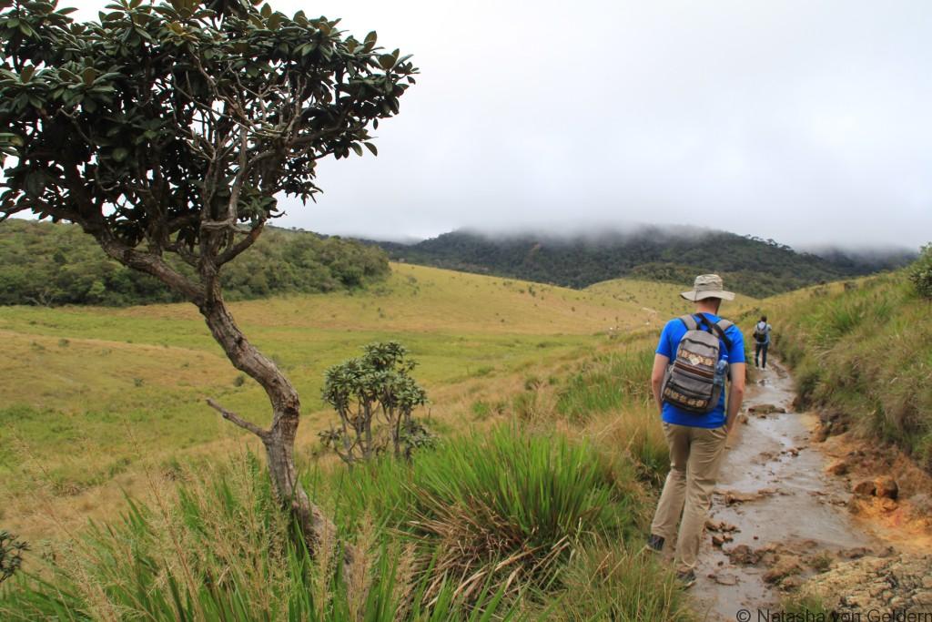
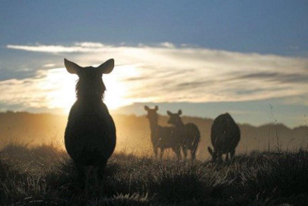
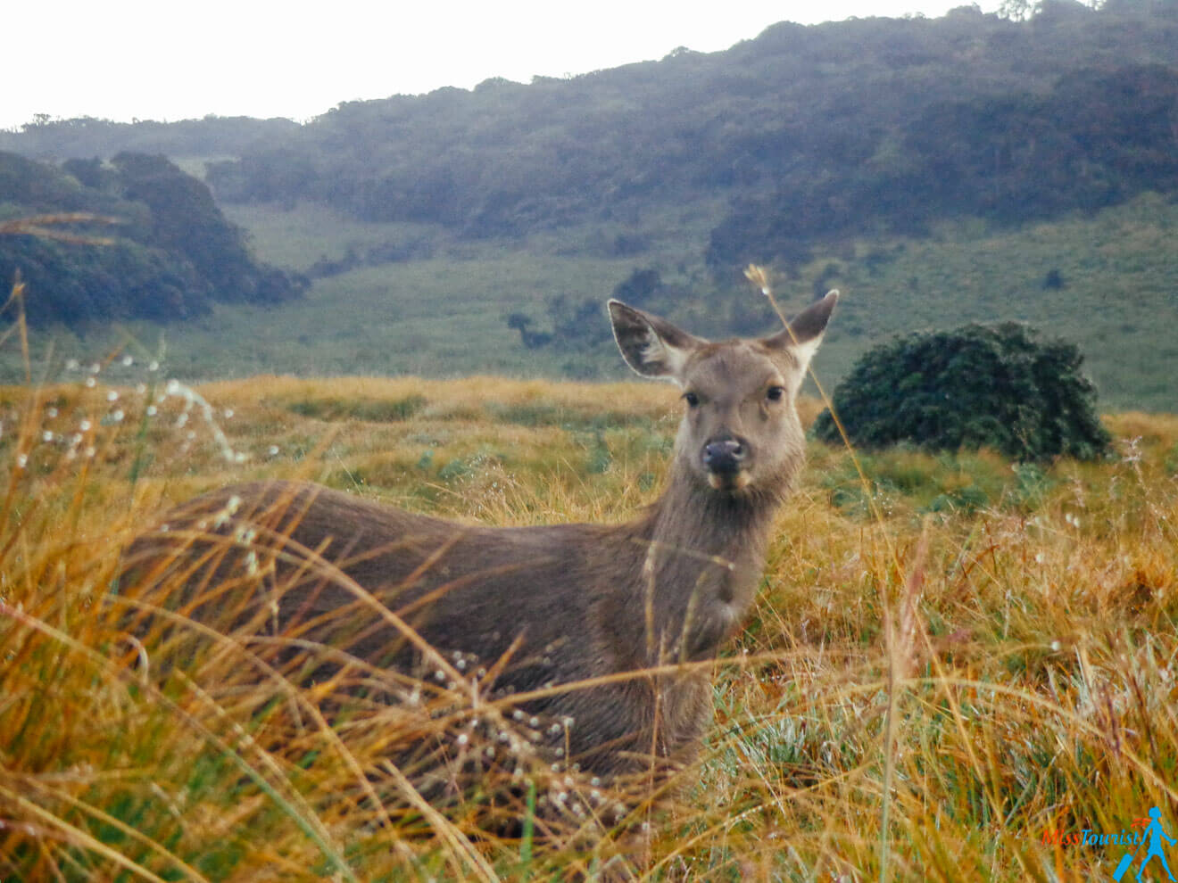
Horton Plains National Park
Text Source : https://en.wikipedia.org/wiki/Horton_Plains_National_Park


Thotupola Kanda Nature Trail
Text Source : https://en.wikipedia.org/wiki/Thotupola_Kanda


